A laser distance meter is a tool that uses laser technology to measure the distance between two points. It is also known as a laser tape measure or laser measuring device. Laser distance meters are used in a variety of industries, such as construction, surveying, and forestry. Laser distance meters work by shining a laser beam from the device to the surface of the object you want to measure. The beam then reflects back to the device, and the distance is calculated based on the time it takes for the beam to travel there and back. Laser distance meters are used for a variety of purposes, such as measuring the height of a building or the width of a room. They can also be used to calculate distances in hard-to-reach places, such as when measuring the depth of a river.
What is a laser distance meter?
What is a laser distance meter?
A laser distance meter is an instrument that uses a laser beam to measure distance. The laser beam is emitted from the device and reflects off of the object being measured. The reflected light is then received by a sensor in the device, which calculates the distance based on the time it took for the light to travel.
Laser distance meters are used for a variety of applications, such as measuring the length of a room, the height of a building, or the distance between two points. They are also commonly used in construction and surveying.
There are two main types of laser distance meters: those that emit a visible light beam, and those that emit an invisible infrared light beam. Both types function in similar ways, but visible light models are typically more accurate than infrared models.

How do laser distance meters work?
Laser distance meters are tools used to measure the distance between two points. The most common way to use a laser distance meter is to point it at an object, press the button, and then read the measurement on the display.
Laser distance meters work by emitting a laser beam from the device. The beam then reflects off of the surface of the object you are measuring and back into the device. The device then calculates the distance based on the time it took for the beam to make the round trip.
Applications of laser distance meters
Laser distance meters can be used for a variety of applications, such as measuring the distance between two points, calculating the area of a space, and determining the volume of an object. Additionally, laser distance meters can be used to create topographic maps and 3D models of objects or landscapes.
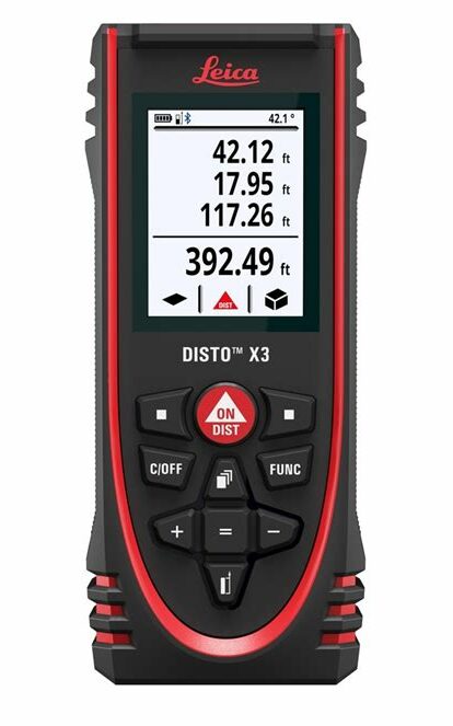
Laser Distance Meters
Laser distance meters can be used for measuring distances, calculating areas, and determining volumes.
Pros and Cons of Laser Distance Meters
- Pros:
- Quick and easy to use
- Provides accurate measurements
- Can be used in various situations
- Compact and portable
- Cons:
- Can be expensive
- Requires batteries or an external power source
How to Choose a Laser Distance Meter
When choosing a laser distance meter, consider the following factors:
- Determine the required range
- Consider accuracy and precision
- Decide on additional features, such as angle measurement and Pythagorean theorem calculation
- Compare prices and make an informed decision
Conclusion
A laser distance meter is a versatile tool that can be used for a variety of purposes, from measuring the distance to an object to calculating the area of a room.
Whether you’re a professional contractor or a DIY enthusiast, a laser distance meter can be a useful addition to your toolkit.
We hope this article has helped you understand what a laser distance meter is and how it can be used.