What can I do with a Topographical survey?
Introduction
There are a few misunderstanding on the importance and use of a Topographical Survey.
Like many homeowners, you might not see the importance of undertaking the topographical survey. You may think this is just:
- another piece of paper to get your project going,
- get approval or
- just more money being spent on bureaucracy.
However, the topographical survey is used in a couple of ways:
- For planning application
- For your architect to produce plans
- To help in the construction phase of your project
For Planning Application
Most councils will require an accurate and scaled topographical survey. A Topographical Survey is not a site plan or location plan. This is completely different.
The topographical survey will need to have the ridge height and outline of the neighbouring properties. Sometimes additional details such as window/sill height of your neighbours can be requested.
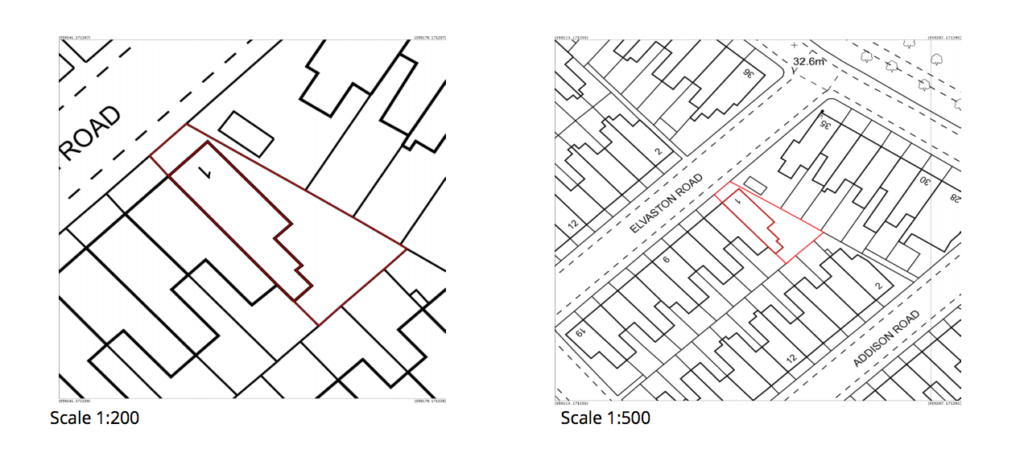
Here is how a topographical plan looks like:

and this is a site plan:
and this is a location plan:

For your Architect
To enable your architect, builder or designer to produce proposed plans they need to have the dimensions, measurement and position of the current features of your land before they can do anything.
With the existing plans of your land, they will be able to draw up the proposals to fit within your land without affecting your neighbours.
This also informs them what features will conflict with your proposal as well as buildability issues such as working space, access, drains, etc…
For your Builders
Lastly, the topographical survey will be used for your builder’s quote for the job and to know where to position the works on your property.
Without the topographical survey, they wouldn’t know where the extent of the works is or where to start digging.
You would not want to start getting into a land dispute at an early phase of your project.
The Topographical survey would include a survey grid or control points. These enable a land surveyor or a setting-out engineer to help your builders position the works in the future.
You’ll notice that the land surveyor works in two ways; they help your team to give them information about what is on your land and as well as take the information from the drawings your architect produce to position it on the land.
It might sound easy, but it is not.
As the original topographical survey is usually produced 6-24 months before the construction works; The features and information on the land might have changed.
Hopefully, with some of the permanent features on your land, it will help your builders build. This is why your land surveyor must be skilled enough to survey the right information from land to drawing and extrapolate the right information from drawing to land.